ANCHORAGE, AK (Alaska’s News Source) – Hurricane force winds tore through the Mat-Su Valley overnight with more extreme winds expected through Saturday and into Sunday.
A First Alert Weather Day has been issued for today and tomorrow morning for the Mat-Su as winds up to 84 miles per hour were recorded in Palmer and up to 75 miles per hour in Wasilla. These winds have caused widespread power outages across Southcentral and will remain a threat into Sunday. A High Wind Warning will remain across the Mat-Su until Monday afternoon, while Anchorage down to Kenai will remain under a High Wind Advisory through Monday afternoon.
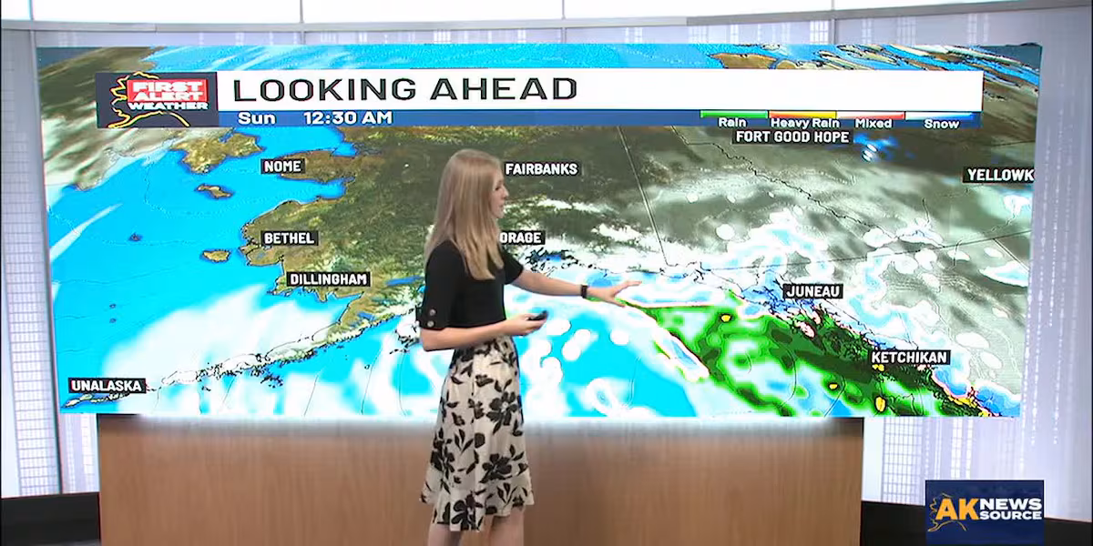
Southeast Alaska is already feeling the impacts of heavy snow after Haines recorded 9 inches of snow as of this afternoon. Sunday and Monday are First Alert Weather Days for Juneau as heavy portions of snow begin to transition from rain by early Sunday morning. Other areas, like Haines have seen quite the snow accumulation, with even more expected across the region as early as tonight.
Download the free Alaska’s News Source Weather App.
The National Weather Service has issued a Winter Storm Warning for Eastern Chichagof Island from Saturday evening through Sunday night with 10 to 13 inches of snow possible paired with wind gusts up to 35 miles per hour. Another Winter Storm Warning is in effect from Juneau to Gustavus until midnight on Monday as 13 to 24 inches of snow are expected to accumulate by the end of the weekend. Skagway and Haines are under a Winter Storm Warning until Sunday afternoon for 15-20 inches of snow accumulation. Yakutat will remain under a Winter Storm Advisory overnight with 2 to 4 inches of snow expected.
Across the Interior and North Slope, clear skies and dry conditions are in store through the weekend. Now while sunshine is a pleasantry, it’s offset with high temperatures 20 to 30 degrees below zero across the region. With temperatures such as these, wind chill becomes 50 to 60 degrees below zero, meaning it could take as little as 5 minutes for frostbite to set in.
Western Alaska is also bright and sunny into Sunday with Blizzard Warning and High Wind Advisories from the Kuskokwim Delta, NunivakIsland, and into Bethel. These alerts are in effect through Monday afternoon with winds likely up to 60 miles per hour with wind chill 35 degrees below zero. Frostbite can happen in as little as 10 minutes with wind chill and temperatures such as these so take precaution when outside.
The Aleutian Chain is under a Gale Warning through tonight with gusts possible up to 60 miles per hour. High temperatures will remain in the mid to upper 20s into the work week with a wintry mix and snow likely in more central based islands.
Copyright 2025 Alaska’s News Source. All rights reserved.
Leave a Reply